Regional Centre Bernex-North
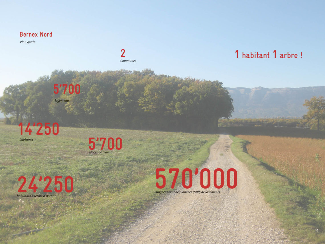
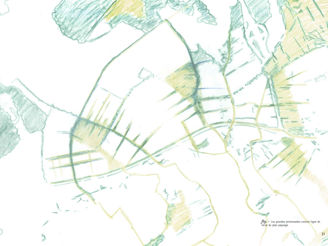

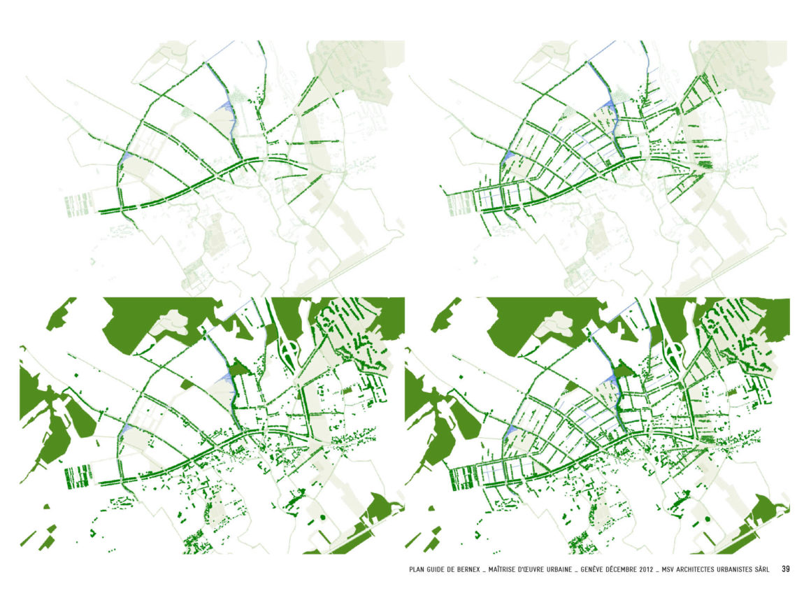
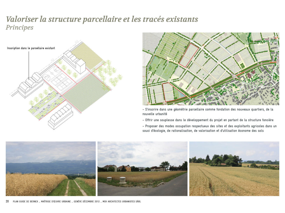


If, like the urban historian André Corboz, we accept that there is such a thing as a “territorial point of view”, then the guide plan is an interpretation of the current situation, set against the program. The creation of a regional hub in Bernex is based on this method. The guide plan is based on the ingredients of the current territorial fabric, looking at the history of the formation of the territory: the relief, the hydrography, the vegetation, the road network, the land parcels and the buildings (the Bernex of today). The territory is “put to the test of the project”, it shows its capacity for transformation, and the project gives it a new meaning. Promenades take shape, a landscape structure is formed: a system of parks, tree-lined boulevards, a division into ‘neighbourhood units’ with the principles of their distribution, polarities of public spaces, a communal centrality, attention to the distance and the great landscape. The project allows us to grasp what we are dealing with, what territory, what programme. From then on, the process is underway: planning to understand, understanding to programme… This is the principle of the Bernex guide plan.
—
town planning / project
year – 2012
client – State of Geneva
area – 160 ha
team – multidisciplinary
photo – msv
—
location →Plan guide →
Cahier de référence →
Les promenades de Bernex →